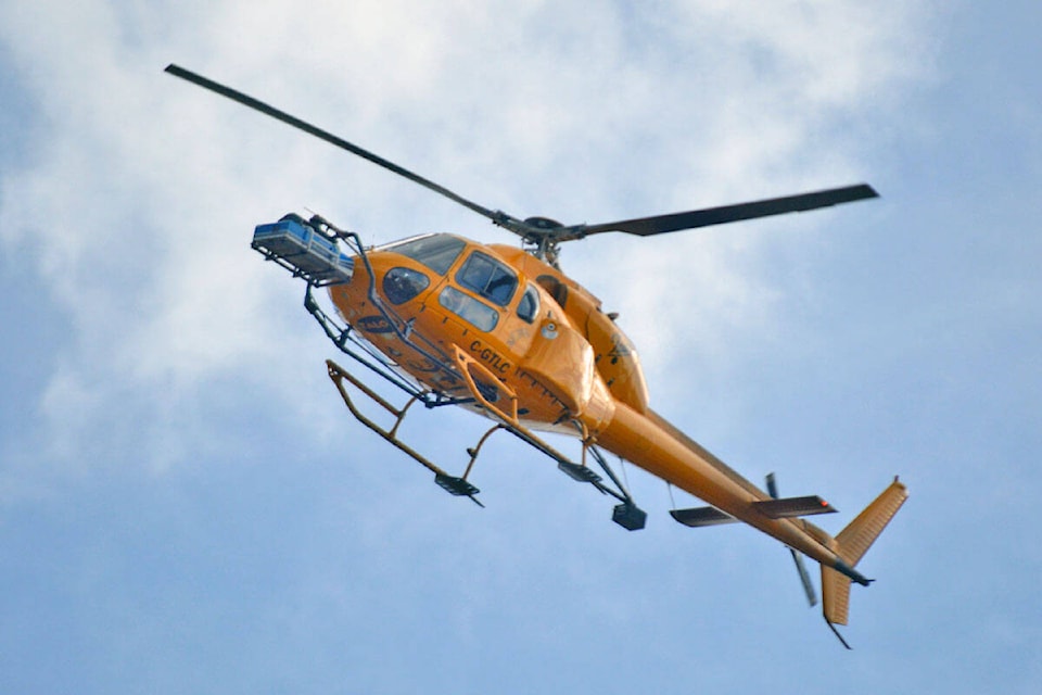
Quesnel residents may have noticed a low flying helicopter flying near downtown on Sunday, Oct. 3.
The helicopter was being flown by Talon Helicopters. The company said they received special permission from Transport Canada to fly low to conduct a Lidar (light detection and ranging) survey.
According to the U.S. National Ocean Service, Lidar is used to “generate precise, three-dimensional information about the shape of the Earth and its surface characteristics,” including both man-made and natural environments.
VIDEO: NASA’s Mars helicopter takes flight, 1st for another planet
Do you have something to add to this story, or something else we should report on? Email: cassidy.dankochik@quesnelobserver.com
@GimliJetsMan
cassidy.dankochik@quesnelobserver.com
Like us on Facebook and follow us on Twitter.