UPDATE:
The severe thunderstorm watch for the Quesnel area ended At about 6 p.m. July 21.
ORIGINAL:
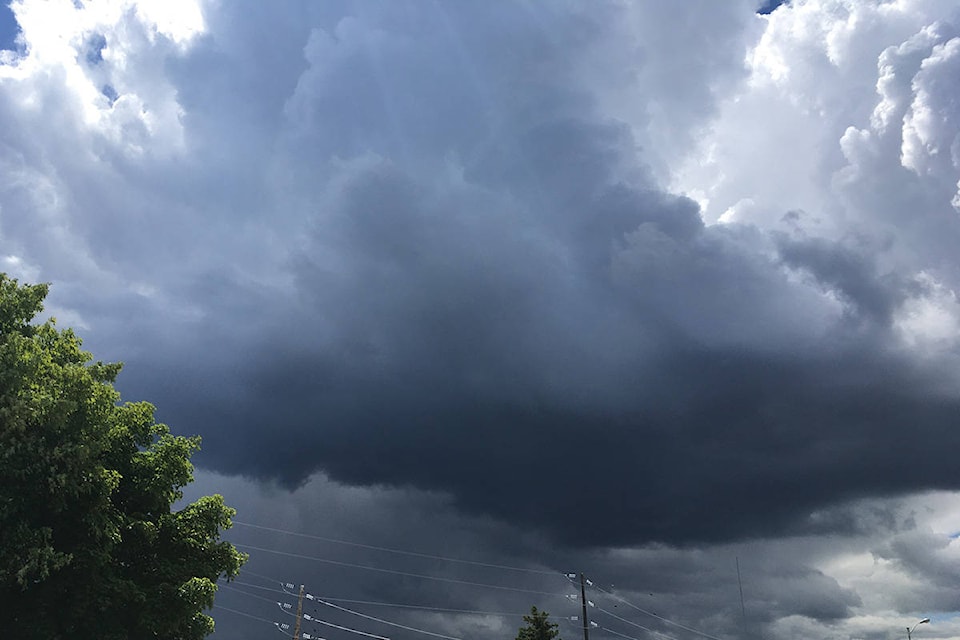
A severe thunderstorm watch has been issued for the Quesnel area by Environment Canada at 2 p.m., Tuesday, July 21.
Conditions are favourable for the development of severe thunderstorms that may be capable of producing strong wind gusts, large hail and heavy rain for Cariboo north including Quesnel.
Large hail can damage property and cause injury.
Strong wind gusts can toss loose objects, damage weak buildings, break branches off trees and overturn large vehicles. Heavy downpours can cause flash floods and water pooling on roads.
Severe thunderstorm watches are issued when atmospheric conditions are favourable for the development of thunderstorms that could produce one or more of the following: large hail, damaging winds, torrential rainfall.
Please continue to monitor alerts and forecasts issued by Environment Canada. To report severe weather, send an email to BCstorm@canada.ca or tweet reports using #BCStorm.
news@wltribune.com
Like us on Facebook and follow us on Twitter