Environment Canada is calling for five to 10 centimetres of snow for Williams Lake and about five for Quesnel overnight and into Tuesday.
The daytime high for the region is expected to reach -1C Tuesday, but will begin the day with a windchill of -10C before warming up.
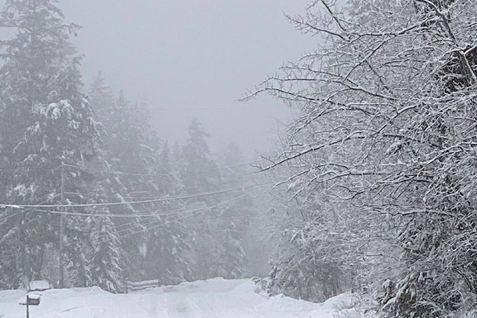
Bella Coola residents are still digging out from their weekend storm, with another 10 cm of snow in the forecast for Tuesday.
Read More: ‘The hill’ at Bella Coola reopened, power restored to residents after winter storm hits area
Snow is expected Thursday and Friday with daytime highs of -6C and -2C, before temperatures are forecast to plunge to -25C Friday night, and stay cold Saturday with a daytime high of -20C, and -29C by Saturday night.
Do you have a comment about this story? email:
editor@wltribune.com
Like us on Facebook and follow us on Twitter.