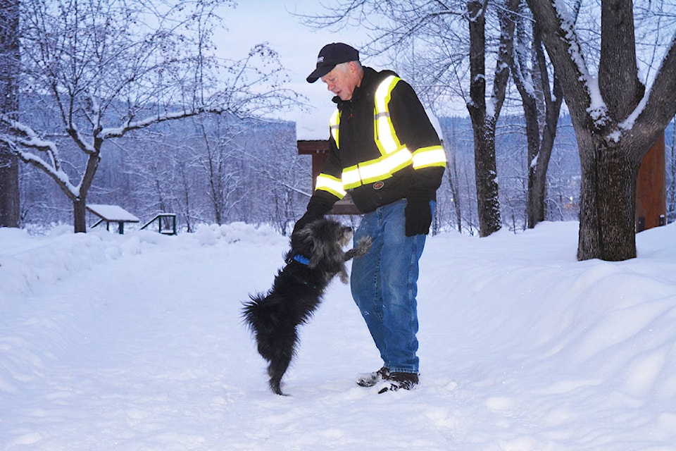
Environment Canada is warning Cariboo residents to be prepared for “bitterly cold air” and has issued a special weather statement for Quesnel and the surrounding area.
“An extremely cold arctic airmass over the northern interior will make its way southward through the weekend,” states Environment Canada. “This airmass will begin to move across the central interior tonight and then across the southern interior on Sunday.”
According to Environment Canada, the temperatures will plummet to values not seen in years.
“With strong north winds, it is expected that wind chill values will reach between -30 and -40 through the central interior by Sunday morning and down to -30 in the Columbias and southwest interior by Monday morning,” it states.
The seven-day forecast for Quesnel shows a 40-per-cent chance of flurries this evening (Saturday, Jan. 11), with a wind chill of -14 this evening and -28 overnight, along with a risk of frostbite.
Environment Canada is calling for a risk of frostbite Sunday, Jan. 12 as well, with a wind chill of -28 in the morning and -35 in the afternoon. Light snow is expected to end late in the afternoon, followed by local blowing snow in the evening. Environment Canada warns of “frostbite in minutes” for Sunday evening, as the wind chill is forecast to be -40 in the evening and -31 overnight, with winds northwest 30 km/h, gusting to 50 km/h.
The forecast calls for sunny skies Monday, Jan. 13, with a high of -23 C and a low of -30 C. Tuesday’s high is forecast to be -26 C, while the low is listed as -33.
For Wednesday, the sun gives way to a mix of sun and cloud, with a 30-per-cent chance of flurries, and the forecast calls for a high of -22 and a low of -38.
Thursday’s forecast is for a mix of sun and cloud with a 40-per-cent chance of flurries, a high of -31 and a low of -39.
At this point, the forecast for Friday, Jan. 17 calls for a mix of sun and cloud and a high of -29 C.
With the low temperatures in the forecast, a reminder that School District 28’s policy is that when morning temperatures are at -32 C or colder, or roads are deemed unsafe due to weather, school buses could be cancelled for the day, and instructional duties for the day would be limited. Watch the school district’s website for announcements.
To report severe weather, send an email to BCstorm@canada.ca or tweet reports using #BCStorm.