Six years after the Mount Polley Mine disaster, scientists say they are still seeing ‘contaminated’ sediment coming out of the Quesnel River during the winter and spring overturn of Quesnel Lake.
“It’s still well over the 197 parts per million copper,” said University of Northern British Columbia (UNBC) professor Ellen Petticrew of samples taken from the river.
“It is lowering and has gone from about 400 parts per million down to about 250 parts per million and we suspect it is going to get lower soon, but we don’t know that.”
When the copper gold mine’s tailing impoundment failed on Aug. 4 , 2014, around 24 million cubic metres of mine waste and water was released into Polley Lake, Hazeltine Creek and Quesnel Lake.
Right after the spill, Petticrew and UNBC professor Philip Owens pulled together a team of scientists, several who had worked on Quesnel Lake in the past, to work with the Ministry of Environment, Fisheries and Oceans Canada and Mount Polley Mine to figure out how to deal with the spill.
This summer Petticrew and Owens, along with 12 other scientists have a new paper coming out in the American Geophysical Journal that discusses seasonal turbidity increases in Quesnel Lake.
It looks at the three years following the spill, compares the information to data collected as far back as 2006, and concludes the increased turbidity is likely due to the re-suspension of sediment from the breach that is sitting at the bottom of the lake.
Owens said they are confident the evidence proves the re-suspension of sediments at the bottom of the lake gets into the water column and then flows out of the lake into the river.
“We are picking up these annual cycles of enhanced sediment and copper in the river which then links back to obviously what’s going on in the lake,” he said, noting greening of the lake has even shown up on satellite photographs.
Petticrew said sampling of spring runoff has also been done since the spill to determine how much copper is coming out of the small rivers in the spring and it has only accounted for about 10 per cent of the amount showing up in the Quesnel River.
Owens said the fact elevated coppers levels are still showing up in 2020, is quite significant.
“We still don’t know when it will go back to essentially what was pre-spill conditions so that’s why we are keeping our sampling and monitoring program going so we can hopefully provide some idea of that. The University of British Columbia group has done some modelling of when they think the suspension of the lake may go down to background levels and that could be five to 10 years.”
Since 2014, they’ve also sampled biofilm growing on rocks or buoys that have been placed in the water by the Ministry of Environment.
Between November and May higher levels of concentrations has been detected in organisms, coinciding with the re-suspension of sediment, Petticrew said.
A graduate student was doing some work looking at the transfer of materials between biofilm to the organisms and the organisms that eat those organisms to look at the food web.
“The organisms that eat around the concentration near the spill have higher metal concentrations than organisms in other areas of the lake,” Petticrew added.
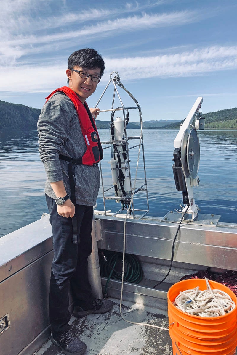
This summer there are six students working at the Quesnel River Research Centre in Likely continuing with monitoring and sampling.
Read more: Post mine breach projects afloat at Quesnel River Research Centre
Due to the COVID-19 pandemic, some of the programs were cut back, such as coring at the bottom of the lake with Fisheries and Oceans and scientists from Halifax and Bedford, as was done in 2016.
The coring program will be postponed until next summer, but profiling of the water column has continued to keep the record going as well as sampling of Quesnel River, Quesnel Lake and Hazeltine Creek biofilms and invertebrates.
Given the high water levels this year, there have been some restrictions, especially getting onto some areas of the Quesnel River.
Owens said while they have consistently reported about the re-suspension of material from the bottom of the lake over the last six years, the new paper that’s coming out will be the first time it’s documented in a peer-review journal.
They have applied for new funding from Environment and Climate Change Canada’s environmental damages fund, but have not heard if they have been successful.
If they get the new money, the plan is to do more focus work on the diffuser pipe the mine has been using to release effluent into Quesnel Lake.
Read more: Researchers track Mount Polley effects
news@wltribune.com
Like us on Facebook and follow us on Twitter
news@wltribune.com
Like us on Facebook and follow us on Twitter